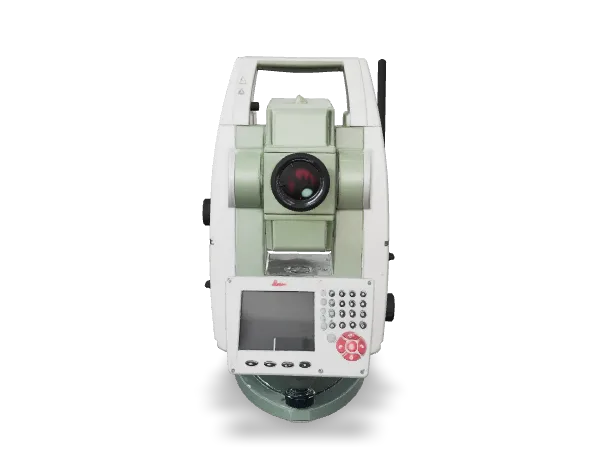
Leica TS09plus
Total station, 1″ angular accuracy
Owned

Lion Survey was founded by surveying engineers who shared the idea that surveying services should be fast, accurate and easy for the client to understand. We work in Novi Sad and across Vojvodina and Serbia — from mapping family homes to large infrastructure projects.
We believe technology is the best ally of precision. That is why we closely follow developments in the profession and keep investing in knowledge and in putting it to work in the field — from 3D laser scanning to drone surveys. The result: the same job done faster, more safely and with more data than with traditional methods.
Every client gets a single point of contact who guides them through the whole process — from the first call to the decision from the cadastre. No jargon and no hidden costs.
To provide a professional and reliable surveying service tailored to each client's needs, using state-of-the-art technology.
For the Lion Survey name to stand for a modern, innovative and reliable company in surveying, aerial photogrammetry and laser scanning.
Precision, reliable deadlines and transparent pricing. We explain the procedure before the work starts and are always available while it is under way.
The right instrument for every task — from setting out and levelling to 3D scanning and aerial surveys. Drag the models to rotate them.
Total station, 1″ angular accuracy
Owned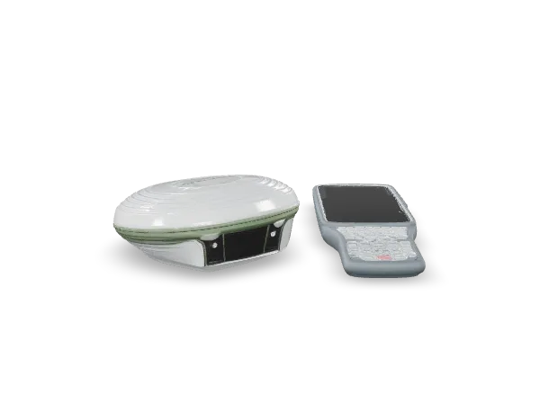
GNSS RTK receiver with controller
Owned
Digital precision level
Owned
Drone for aerial imaging and photogrammetry
Owned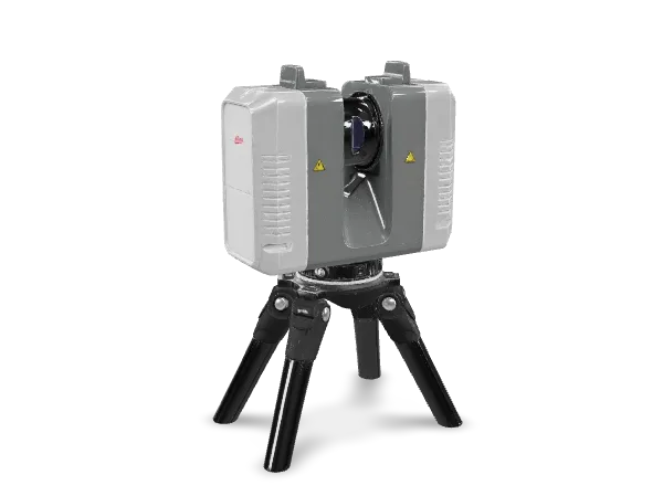
3D laser scanner
Available
Drone with thermal camera
AvailableSurvey measurements are the foundation of every investment. That is why we work with licensed partner surveying organisations, use modern equipment and take full responsibility for every figure we sign off.
Request a quote!
Every piece of data we deliver carries my signature — and my guarantee of its accuracy.
 Milan Pjević
Founder · MSc in geodetic engineering
We prepare survey reports together with licensed partner surveying organisations. They are certified by a responsible surveyor holding a first-class licence, and we submit them to the cadastre and the competent authorities as complete and correct documents.
A Leica total station and digital levels, a GNSS RTK receiver, 3D laser scanners and DJI drones. See the equipment
We schedule fieldwork quickly and deliver the documents on the agreed date — no delays, no excuses.
From the survey and the report to submission to the cadastre and the occupancy permit — we guide you through the whole procedure.
Every measurement is double-checked, because the safety of your investment depends on the accuracy of the data.
Before we start, we explain the procedures, deadlines and costs — clearly, openly and with no hidden items.
Our experience of Lion Survey was very good. The guys were great. We are very satisfied and would recommend their services.
Professionalism, kindness and accuracy. The measurements were carried out thoroughly and the documentation was prepared by the book.
Professional and reliable service. Very pleasant staff to work with and agree every detail. Their product is highly precise, obtained with the most modern tools.
An excellent balance of practical and theoretical work. For me, Lion Survey is synonymous with efficiency and precision.
All praise for Lion Survey, surveying in one place. Great dedication from the lecturer at every moment. Highly recommended.