
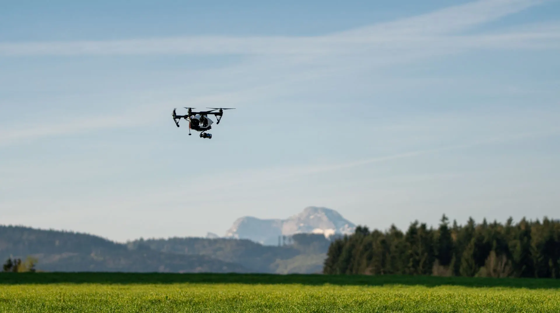


Drone mapping programme
From the legal framework and mission planning to orthophoto maps, 3D models, volume calculations and survey reports. Learn the complete workflow of drone capture and photogrammetric processing.
- DroneLink
- Agisoft Metashape
- GNSS RTK
- GIS
Programme outline
1Theory
9 days · one online lecture a day, plus extra exercises
- Introduction and setting up the training environment (Zoom, 1 h)
- Surveying and GNSS fundamentals
- Introduction to drones and the legal framework
- Photogrammetry and aviation regulations
- Mission planning in DroneLink
- Fieldwork: preparing the site
- Processing data and photos in Agisoft, part one
- Processing data and photos in Agisoft, part two
- Measurement and data analysis in surveying and GIS
2Fieldwork
1 day · live training outdoors
- Participants fly the mission themselves
- Placing ground control targets with GNSS
- Drone data acquisition
3Office processing
7 days · processing a real project in the training environment
- Preparing and importing data into Agisoft
- Alignment, dense point cloud and point classification
- Creating DEMs, DSMs and orthophoto maps
- Finalising the 3D model and drawing polygons
- Volume calculations and error analysis
- Preparing an as-built survey report for a building
- Preparing a survey report for utilities

