

 DSM
Orthophoto
Aerial photogrammetry and drone surveying
A large area, two days in the field
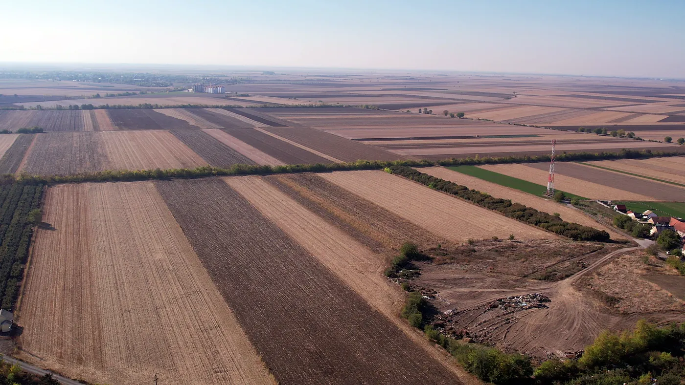
When a construction site, farmland, a quarry, a landfill or a road corridor needs surveying, a drone covers ground that would take days to measure on foot. In good weather we can survey an 870-hectare parcel, roughly the combined area of Belgrade’s Stari Grad and Vračar municipalities, in two working days.
We fly a DJI Air 2S and measure ground control points with a GNSS RTK receiver. So you get more than an aerial image: you get georeferenced survey data ready for design, calculations and progress tracking.
Request a quote- 870 hain two working days, in good weather
- 1 cm/pxground resolution when flying at 30–40 m
- 3–4 cm/pxground resolution when flying at 100 m
From flight to finished data
Orthophoto
High resolution, georeferenced, in JPEG format.
Terrain and surface models
Digital terrain and surface models (DTM and DSM) and contour lines.
3D model
Terrain and buildings as a point cloud.
Volume calculations
Excavations, embankments and stockpiles.
Progress monitoring
Periodic surveys of construction progress.
Promotional filming
Promotional photos and video in 4K resolution.
How a survey works
Flight planning
We plan the mission and check airspace permissions.
Ground control points
We place them on site and measure them with a GNSS RTK receiver.
Flight
The drone collects photos along the planned mission.
Processing
We process the photos in Agisoft Metashape.
Delivery
You receive the data and an accuracy report.
Flights within the regulationsWe fly in line with the regulations of the Civil Aviation Directorate of the Republic of Serbia. Our operator has passed the Directorate’s air law knowledge test.
Photo and video from the air
The same drone also shoots for presentation: promotional photos and video of land, buildings and real estate.



Questions about drone surveying
01How large an area can you survey?
It depends on the required resolution and the weather. For example, an 870-hectare parcel, roughly the combined area of Belgrade’s Stari Grad and Vračar municipalities, takes two working days in suitable weather.
02How accurate is the orthophoto?
It depends on flight height. On lower flights, at 30–40 m, the ground sample distance (GSD, how many centimetres on the ground one orthophoto pixel represents) is about 1 cm per pixel. At 100 m, the highest you may fly without an airspace allocation, the GSD is 3–4 cm per pixel.
03What is the difference between an orthophoto and a DSM?
An orthophoto is an aerial image corrected so that distances and areas can be measured on it. A DSM is a digital surface model: it describes the height of everything visible from above, including buildings and vegetation. A DTM describes the height of the ground only.