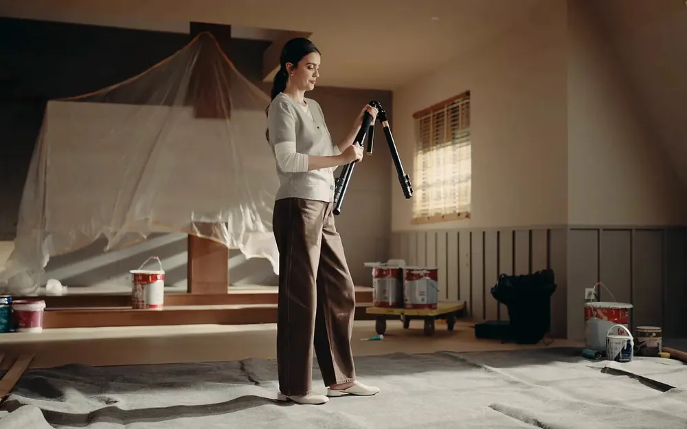
On a tripod
Highest accuracy: 5 mm at 10 m. The scanner captures a full circle, and moving between stations is quick because it is light.

One scanner, on a tripod or on the move.
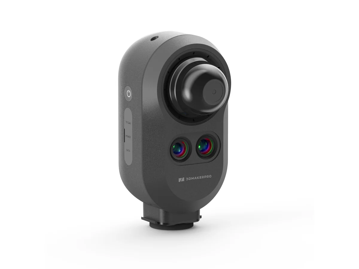
Owl Max Premium is the only Owl variant that works both on a tripod and handheld. The laser and five 48 MP cameras capture a space as a measurable colour point cloud, and the same capture gives you panoramas, 3D models and floor plans.
The manufacturer’s film: what scanning looks like, from setup to a finished 3D space.
Highest accuracy: 5 mm at 10 m. The scanner captures a full circle, and moving between stations is quick because it is light.

Only Max Premium also works handheld. It suits large areas and fast documentation, and the manufacturer states about 2 cm accuracy for this mode.
Scroll through the cloud, measuring, colour and the floor plan, on real data from the device.
Points appear where the scanner passes, and the orange line is its approximate route. The cloud is thinned out for the web, so the source capture is much denser.
Distances and heights are read directly from the point cloud, without another site visit. The values shown are calculated from the scan itself.
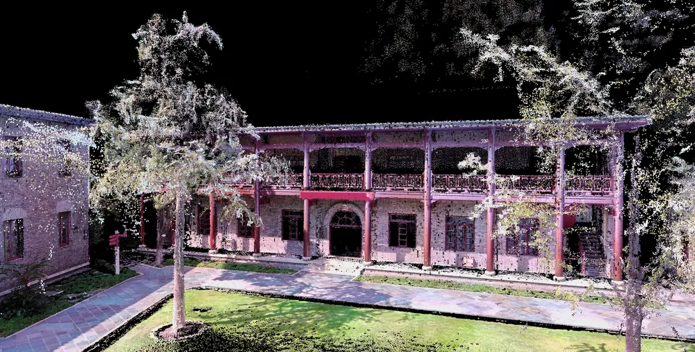
Five 48 MP cameras work with the laser, so the cloud gets the colour and materials of the space straight away.
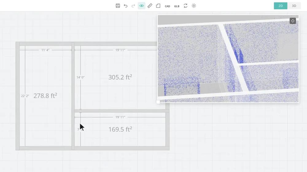
Paths, the lawn, the trees and the building are traced over the cloud as lines, the way a cadastral-topographic plan is made.
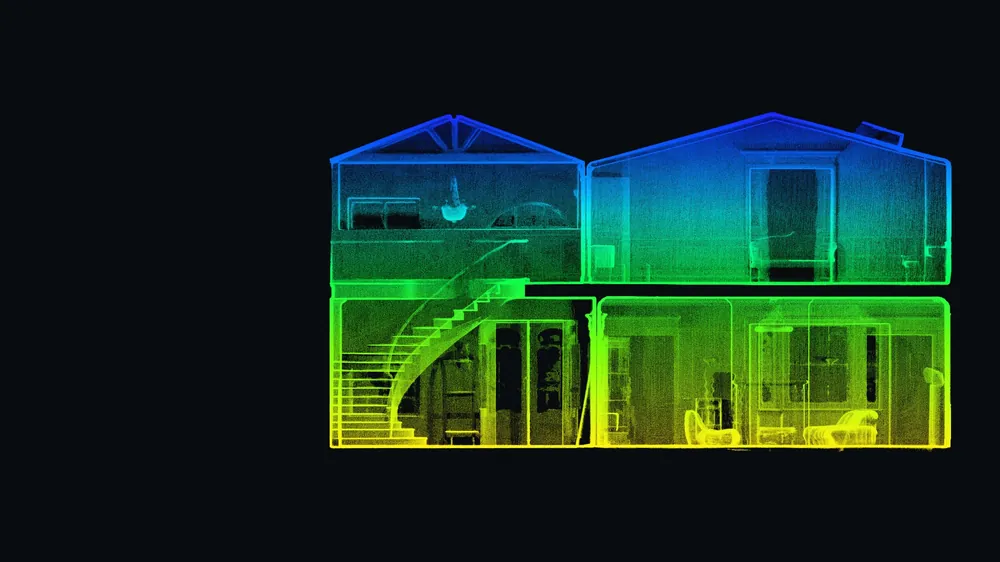
The same capture gives you data for measuring, design and presentation, without another site visit.

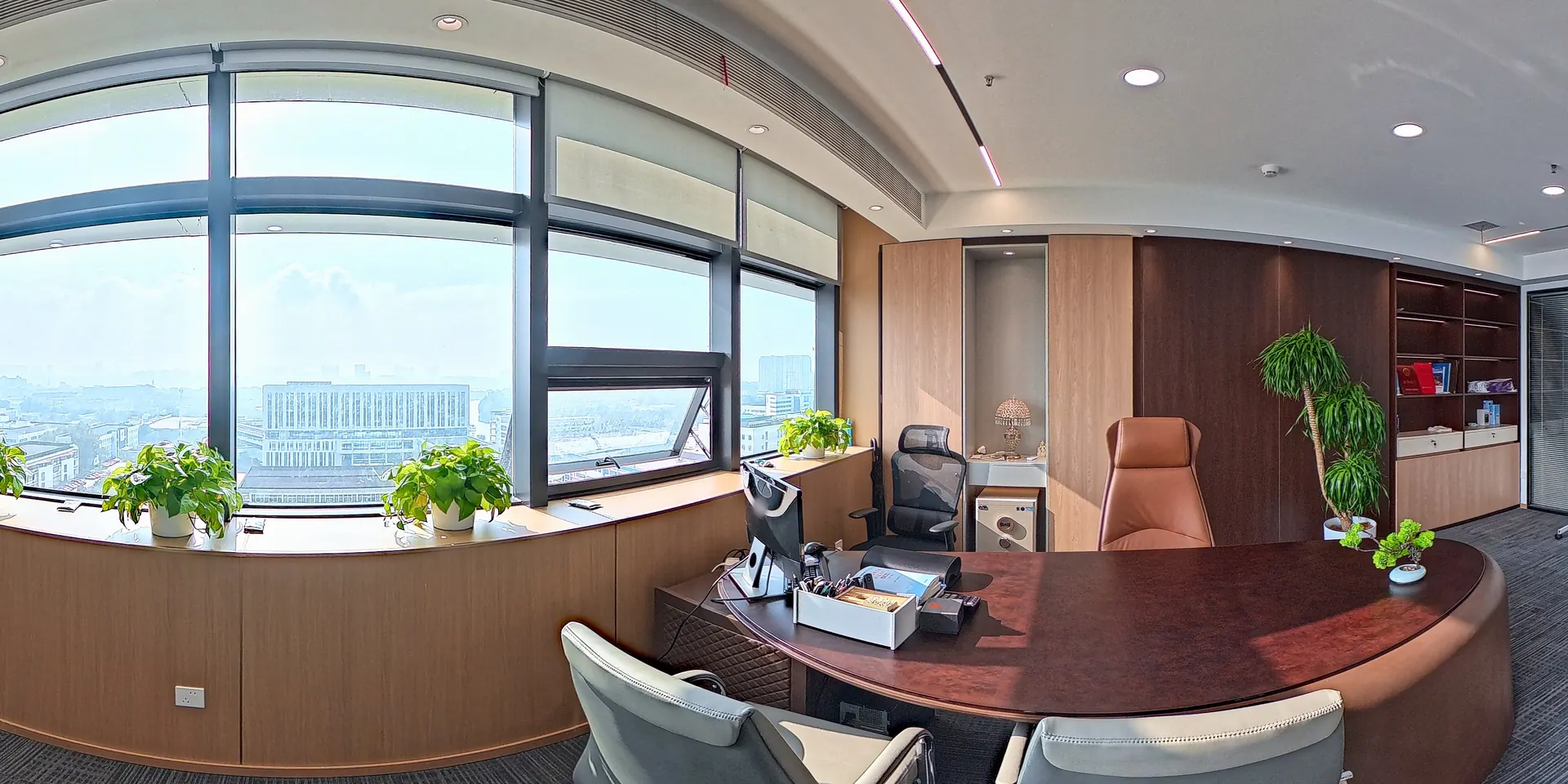
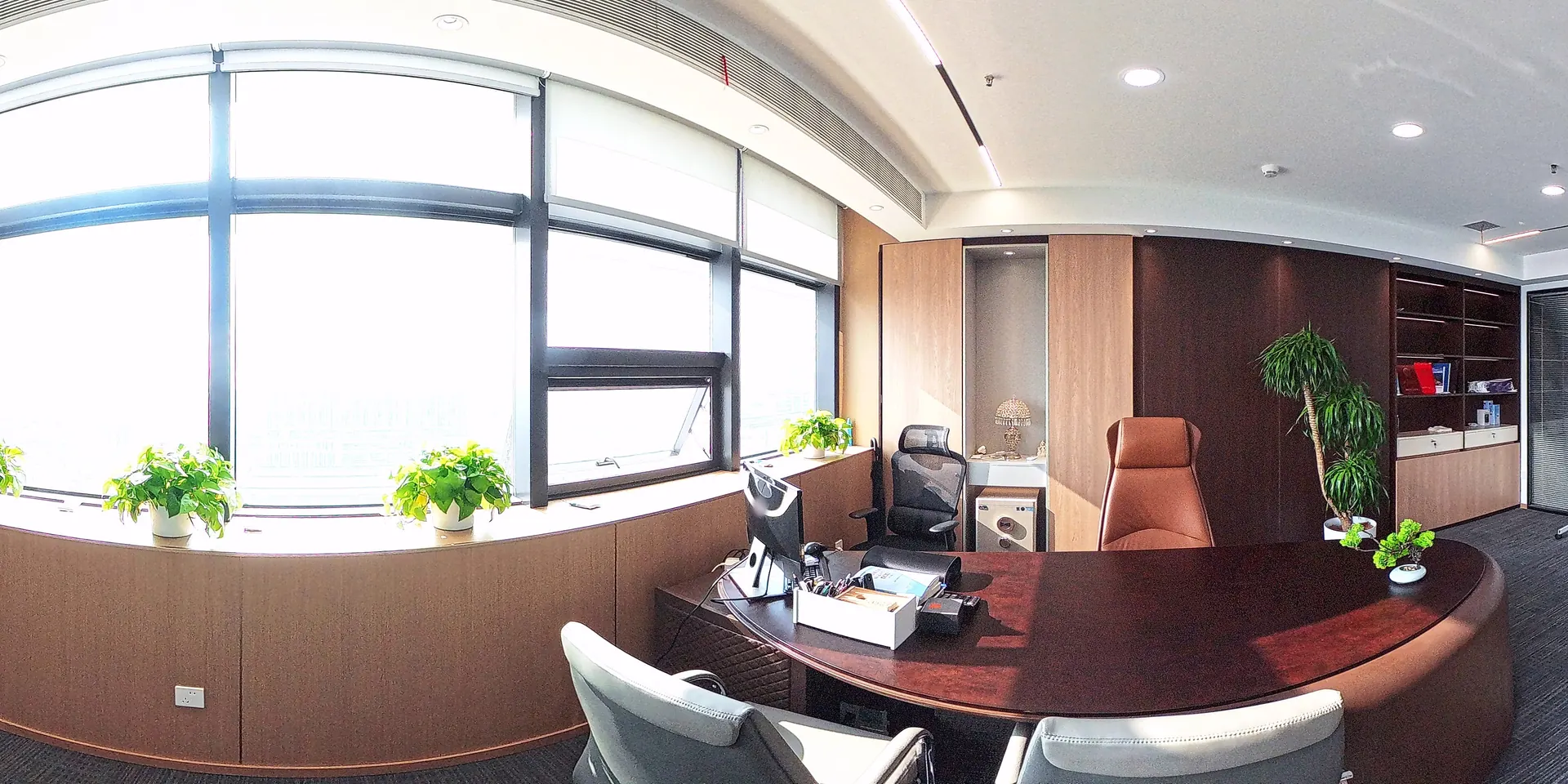 No HDR
With HDR
Scanning, processing and export need no subscription. Only additional online services are paid.
You control the scanner through an app over Wi-Fi. You see the result straight away and fix gaps on the spot. The Android app is due in late November or early December.
RayStudio is free processing software for a Windows computer with an NVIDIA graphics card. RayCraft extracts the building from the cloud for floor plans.
JimuMeta shares a 3D space by link, with measurements and labels. A PDF floor plan is free, while CAD and OBJ export are paid.
AI suggests a floor plan, and you check it over the point cloud. If a wall is off, move it, then add doors and windows.

The Max Premium kit has everything for both scan modes, so you can start straight away.
Manufacturer data. Join the waiting list and we will contact you with the price as soon as sales start.
Manufacturer data. Subject to change without notice.
Join the waiting list or reserve your unit. Sales start in early 2027.
We look at what you need and whether the Owl is the right choice for your work.
While you wait for the device, we train you on our own instrument: capture, checking and data export.
The device arrives and you are already trained. We help with first start-up and software installation.
First-line support for everyday questions.
Didn’t find an answer? Call us or send an enquiry.
We expect sales to start in early 2027. Join the waiting list or reserve your unit, and we will contact you with the price and delivery time as soon as the device is available.
The app for field control and a Windows computer with an NVIDIA graphics card for processing. Tripods, power and a memory card are in the kit.
The manufacturer states 5 mm at 10 m on a tripod and about 2 cm handheld. That is enough for floor plans, sections and documenting existing conditions. When accuracy matters most, scan from a tripod.
The manufacturer states up to 2 hours, and in practice you should count on an hour to an hour and a half. The battery is built in, and the device can also run on external power from the power banks in the kit.
Scanning, processing and export need no subscription, and RayStudio is free. Additional online services are paid, such as more space on JimuMeta and CAD export of a floor plan.
Yes. The manufacturer has announced an Android app for late November or early December.
Yes. While you wait for the device, we train you on our own instrument, so you are ready to work the moment it arrives. We draw on our surveying training.